Quarterly Newsletter Spring 2025Want to keep up to date with upcoming events and projects at the Western Shasta RCD? Read our Spring Newsletter here! Sign up for future quarterly newsletters HERE !!
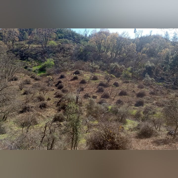
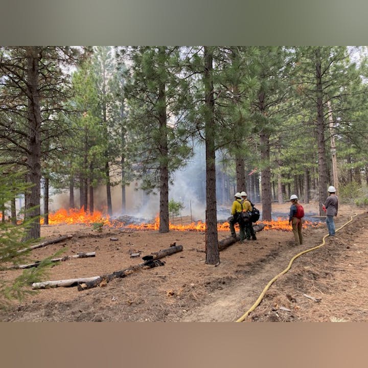
Wildfire Recovery Project This project is made possible through funding provided by the USDA Forest Service. The California Association of Resource Conservation Districts (CARCD) secured the funding, which was awarded to the…
Quarterly Newsletter Winter 2025Want to keep up to date with upcoming events and projects at the Western Shasta RCD? Read Winter Newsletter Here! Sign up for future quarterly newsletters HERE !!
NoticesWSRCD BOARD VACANCY: We are currently recruiting for a dedicated volunteer to serve on our Board of Directors.
Western Shasta RCD Strategic Plan 2025-2029We are pleased to present the WSRCD Strategic Plan 2025-2029.


.png?ixlib=rb-1.1.0&or=0&w=720&h=720&fit=fill&fill=blur&auto=format%2Ccompress&s=64db9525b7637073fe9b77951f7e998a)